My watch indicates 10pm and I am still walking, wrapped in my rain jacket. I start to know the terrain and anticipates the next steps, either on melting snow fields or swamps. Armies of tiny bushes often raise from the swamp, letting me find a way around or try desperately to fight them. I am surrounded by vicious mosquitoes, maybe 100 or 200 around me when I stop. It’s crazy. I never stop more than ten seconds. I start questioning why I decided to come here.
This was my first day entering Sarek. Fortunately, the next ones went far beyond what I could have imagined.
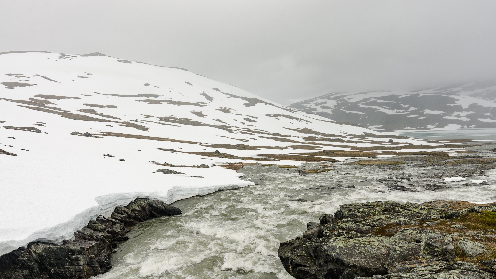
Snow was starting to melt in July, with many fast rivers to cross every day on my trip. Be careful not to drown there! Bridges? Forget about them.
I still wonder how I’ve first heard about Sarek and why I decided to go there this summer. When you start looking at trip reports about Scandinavia, Sarek stands out. A wild National Park, towering Swedish mountains (
Compass in one hand, map in the other, you choose your own a route and follow it. Some people post GPS routes online, but you should not rely on them. The weather and terrain conditions can change significantly from one year to another, and will force you to update your plans. In August 2015 for instance, the summer was late by more than one month. Many streams and rivers were still covered by hazardous thin layers of snow.
My plan was simple: walk from Suorva, at the east of Sarek, all the way to Sulitjelma in Norway. A small distance of 120km, yet with many rivers and streams to ford.
The first day, I met four Swedes who saw me arriving in shorts, trail running shoes, with my tiny backpack. They told me they couldn’t pass the first river, even after waiting one full day. So they stayed at the beginning of the park for six days. They started to look at me with big eyes when I responsed that I had actually six days of food and was heading to Norway. It took me less than four.
The route
Sarek is well connected, by train and bus. I started my trip in Stockholm, and took the Arctic Circle train to Gällivare. Luckily, you can have student discounts in every train and bus in Sweden (and in Norway). I paid less than 80€ for a 15 hours overnight train journey, followed by 2 hours of bus.
At the train station in Stockholm, I found the platform full of huge backpacks and hiking poles. I wonder how they all managed to fit in the berths, comfortable but not very large. I shared mine with five Swedes, and had the opportunity to compare my shoes to their boots. The same applied for my knife versus theirs.
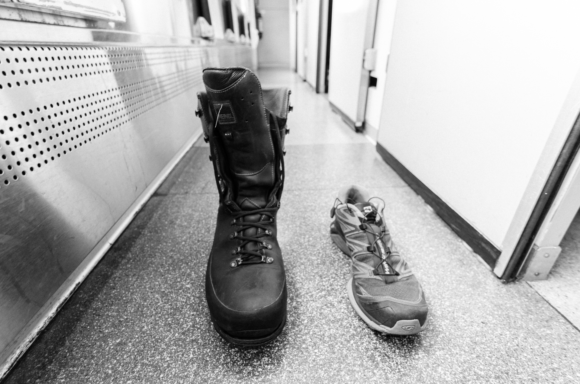
I’ll discuss my equipment later, but still, I don’t know how people can walk with so much weight on their legs. My shoes weight only 345g.
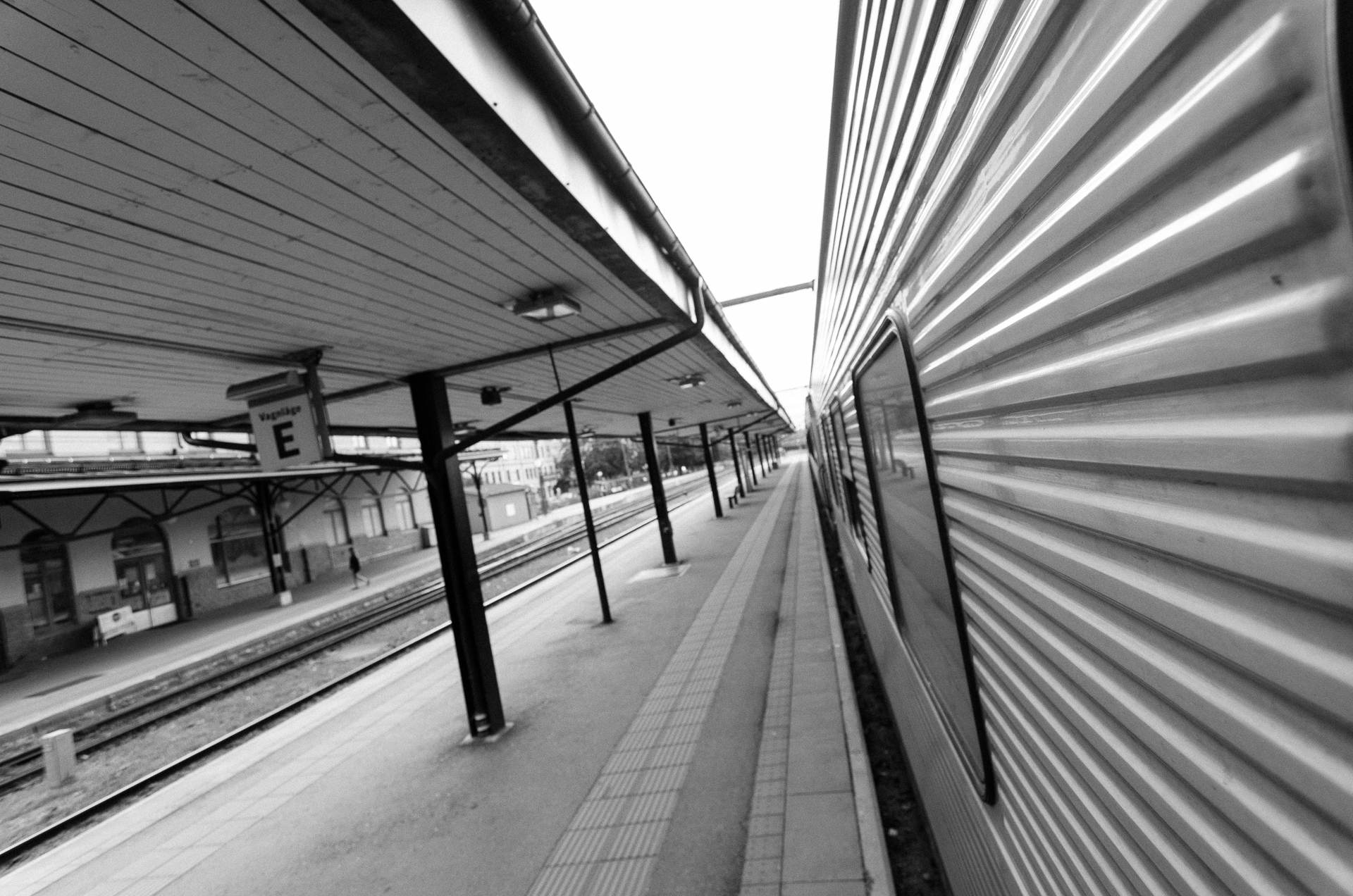
The Arctic Circle train is slower than expected, but the reward will be wonderful views from the window. Be careful with your head, especially when another train passes by!
From Gällivare, I took the bus 93 heading to Ritsem, and left at Suorva: a bus stop in the middle of nowhere, near a hydroelectric power plant.
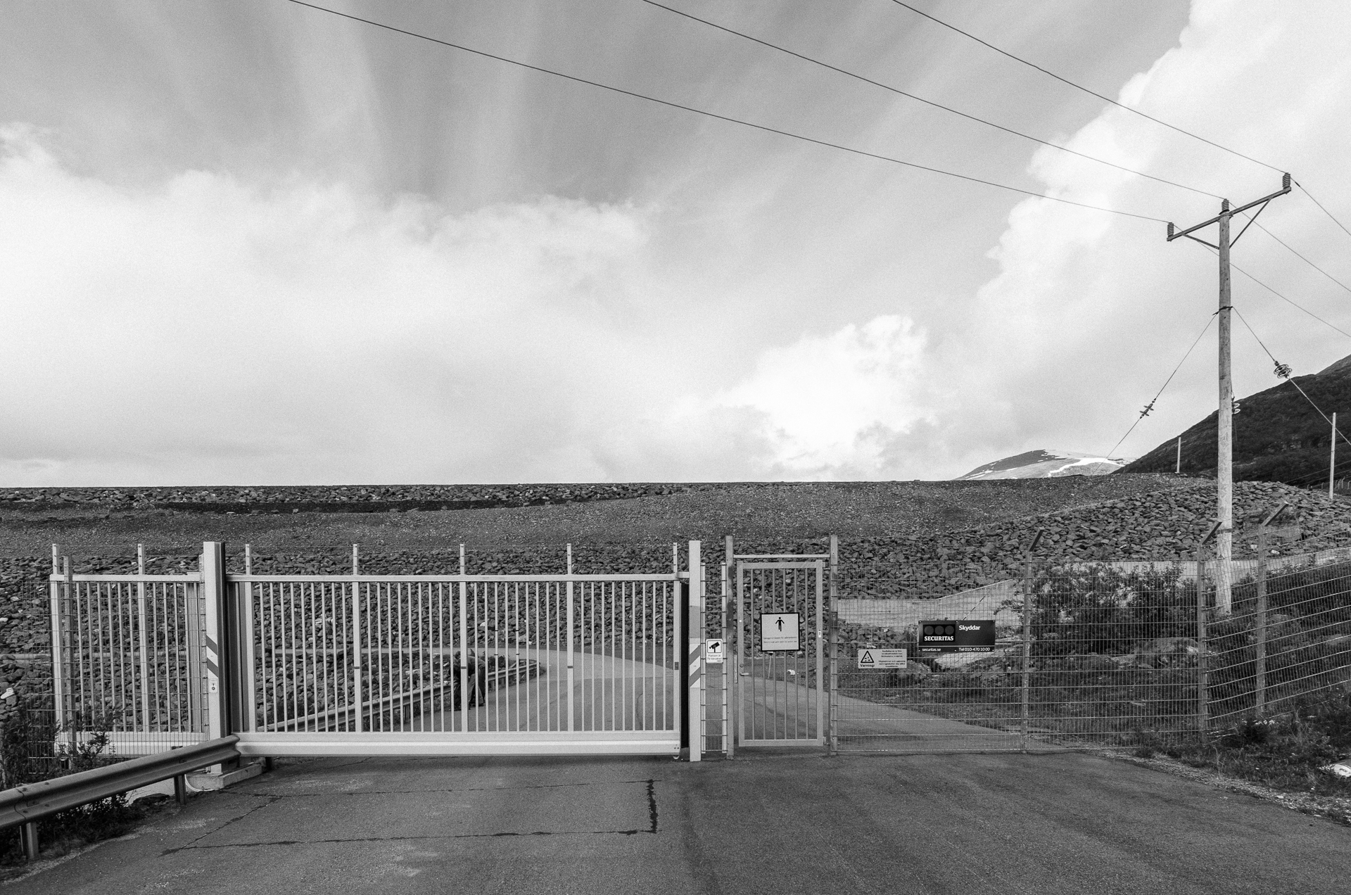
The hike began by crossing the Suorva power plant, after opening the gate above. We were only three people to leave the bus at Suorva. The rain started immediately after, but they were lucky to have one big bottle of vodka in their bag, so we drank to our respective adventures.
After less than one hour, the last human traces started to disappear, with only a small trail, fading quickly. The trees leaved room for large open valleys, with few bushes scattered across the land. Water was everywhere: ponds, streams, swamps, and rivers due to melting snow above me. My shoes were immediately wet, and stayed completely wet during my whole trip. Yet not that much of a drawback with merino wool socks. :)
In the rest of Europe, I never got a lot of issues with mosquitoes. They don’t like me that much. Here was different. When they started approaching me by dozens, I closed the hood of my rain jacket and started walking faster. When I had to cross snow slopes, I was walking slower and they were suddenly all around me. Luckily, they were not landing on me if I was moving, so I almost didn’t take any break until I pitched my tent at 11pm.
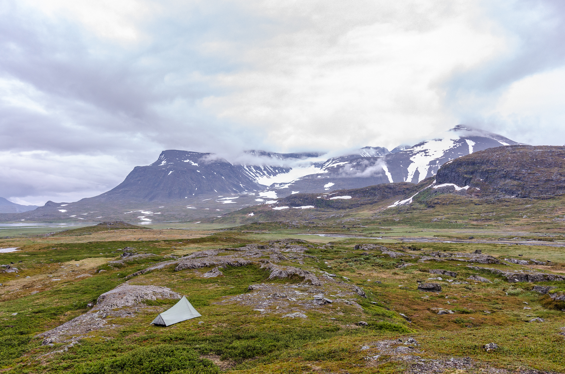
My tent at night in the middle of nowhere. Do you see the clouds? I got less than 20 minutes per day with a tiny window of blue sky in Sarek. I saw the sun twice. Nevertheless, the views were stunning. The above one is around 11pm and the sky was still bright. It’s wonderful for hiking, because you can start and stop your day when you want.
The weather was arousing: not hot, not cold, with drizzly rain through the day, usually for less than ten minutes. Never a strong rain. The temperature dropped while I advanced further inland, down to almost freezing at night and 10°C during the day. Coming from Boston, it was a bit cold for the end of July. But the second day, I said goodbye to mosquitoes and never saw them again!
DAY 2
Hiking from 6am to 10pm, for more than 42km, seemed crazy for all the people I talked to. Most of them had very heavy backpacks, and I was only carrying a bit more than 10 kg with all my food and my DSLR camera. I was almost flying, and since the night was not falling, I kept walking later.
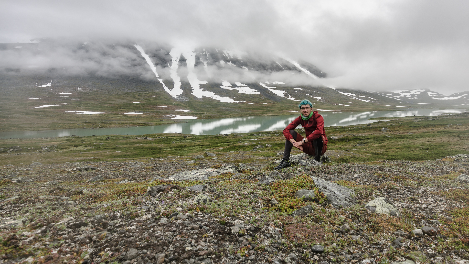
With blue hair and the latest fashion style, including long underwear under my shorts, I was clearly in my element.
Many people consider Sarek an area for experienced hikers only. However, I don’t think the terrain is particularly difficult. Compared to the Appalachians in the US for instance, trail are usually flat and less strenuous. In Lapland, you need to be careful about snow and streams: don’t fall in the rivers. When the current flows under snow or ice, it can be extremelly dangerous. With less than one meter of snow sometimes, you can suddenly be trapped and no one will see you for months… There is indeed no phone coverage and you should not expect to meet many people.
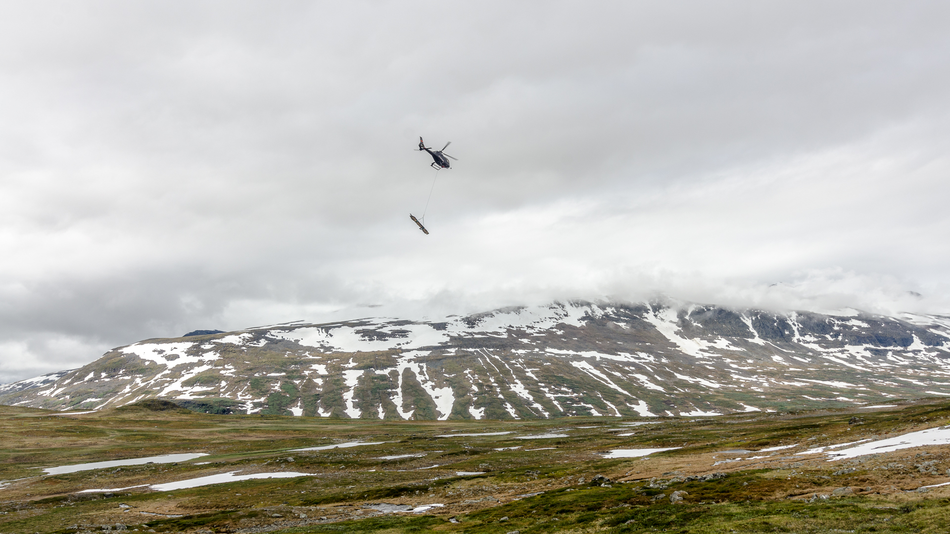
There is no route going through the park, so the only way of transportation is taking an helicopter. You can play the following game: is it an helicopter I’m hearing, or a river? I lost a lot.
It was a real joy to wander in this park full of wild animals. Alright, I mostly saw reindeer, a few hundred during all my journey. At the beginning, I was not sure how to react with dozens were on my way. I crossed groups of up to 40 individuals, with tiny calves following quietly. They all look at me carefully until suddenly they start running away. Sarek is also home of bears, wolves, and wolverines, but you will not meet them. You may see their tracks on snow or mud. If you are lucky, you can encounter cute arctic foxes.
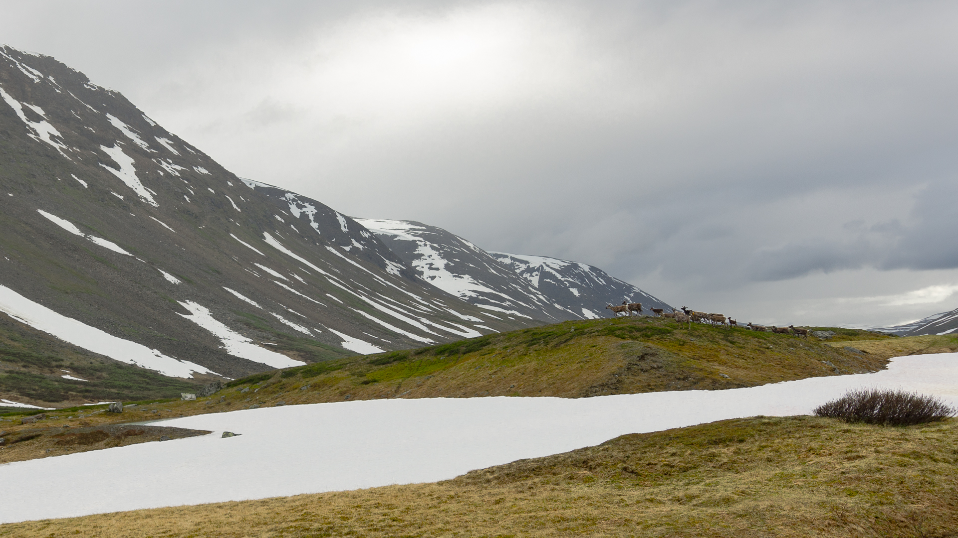
A wide-angle lens is not the best to shoot frightened reindeer. Sheep were more friendly in Norway, maybe too much.
I remember someone telling me the story of a dead bear the police had to take care of in Jokkmokk. Every hiker I talked to after knew all the details. This is a small world. :)
My progression during the second day was slow in the afternoon. I was walking on snowy mountainsides, carefully trying to test how reliable the ground was. My map shown multiple rivers, but I crossed none, they were all underneath me. In the evening, the snow gave way to swamps, next to the river in the valley, or spiny bushes higher. I tried both and dislikes both. Sometimes, there were reindeer tracks I could follow, opening a path for me.
I couldn’t stop there, so I kept pushing myself forward. Around 9pm, I arrived at the Alkavare lake when, to my great joy, I saw people far away. Two boats and a man on the shore. I litteraly ran down the hill to say hi.
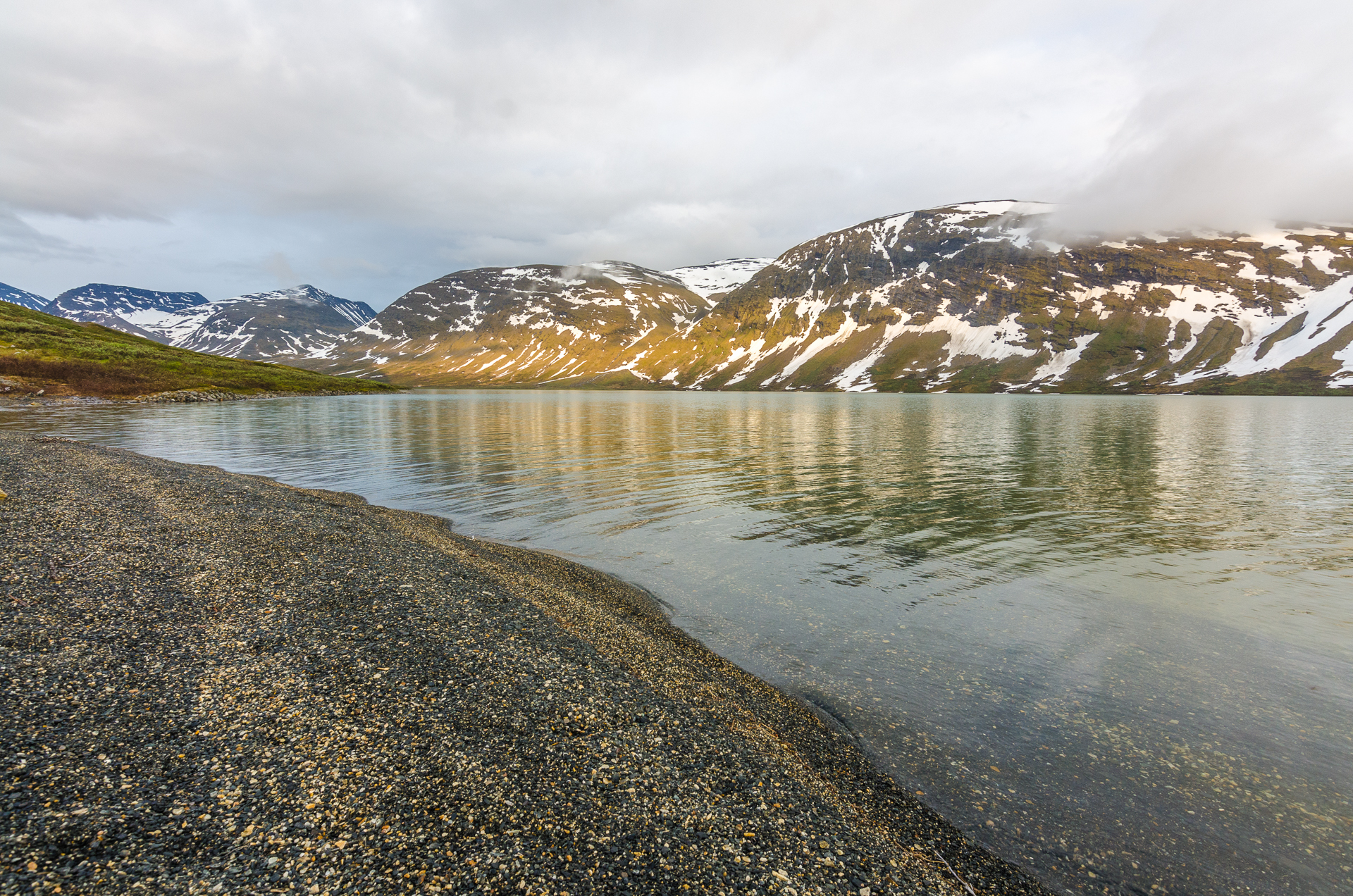
The Alkavare lake at night.
What is the likelihood of meeting a Swedish minister deep into Sarek, who flew by helicopter to give an annual mass in a 200-year-old chapel? I met Anders on the shore when he was going fishing and at 1am, I was eating fried fish and drinking whisky with him, talking about the time he was sliding down the Kilimanjaro in the seventies.
DAY 3
I stayed only one day at the chapel, and 20 people came for the mass. I had the pleasure to climb Alkavare (1600m) and experience Swedish fika in Sarek. Unexpected!
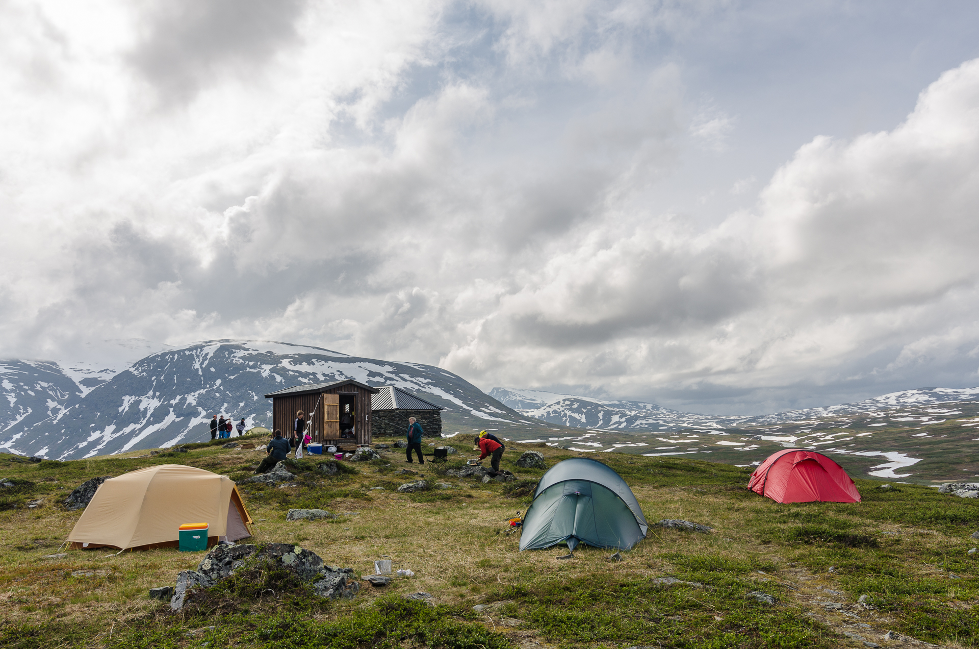
There was a thermometer outside of the small cabin: 4°C at 1am, and 10°C during the day. All Swedes told me this year was particularly cold, and they never saw that much snow in the summer.
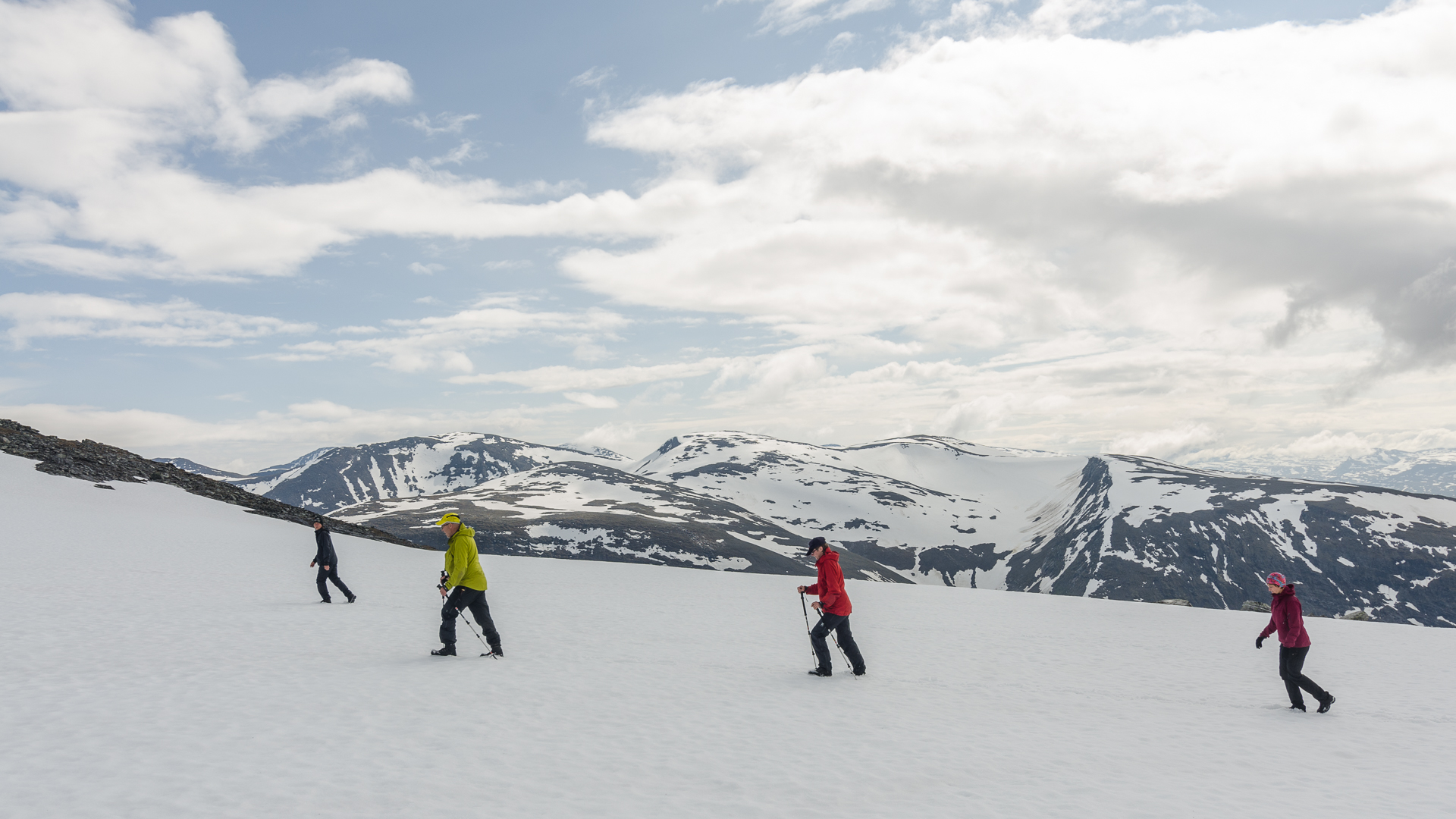
We started hiking under medium rain, but the sky cleared up just before reaching the summit.
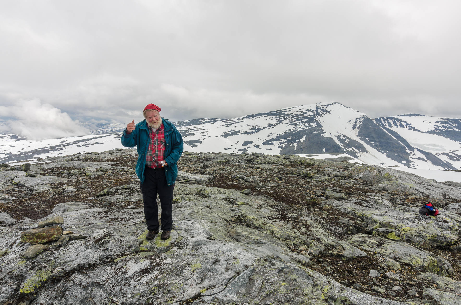
Travelling is full of all these moments you could never imagine. Two days before, two days after, and the chapel would have been empty.
The mass at the Alkavare Kapell is hold every last Sunday of July. I didn’t stay until the Sunday morning, but went for the
DAY 4
Back on the trail, I started my day by crossing the Alkavare lake on a boat. You can either make a long detour or wait for someone to come from the other side, as there always need to be one boat on each side. Or the hard way: cross with one boat, cross back two, and cross again with one! In fact, the lake is not really one, and the river go through, which means I tried not getting caught by the
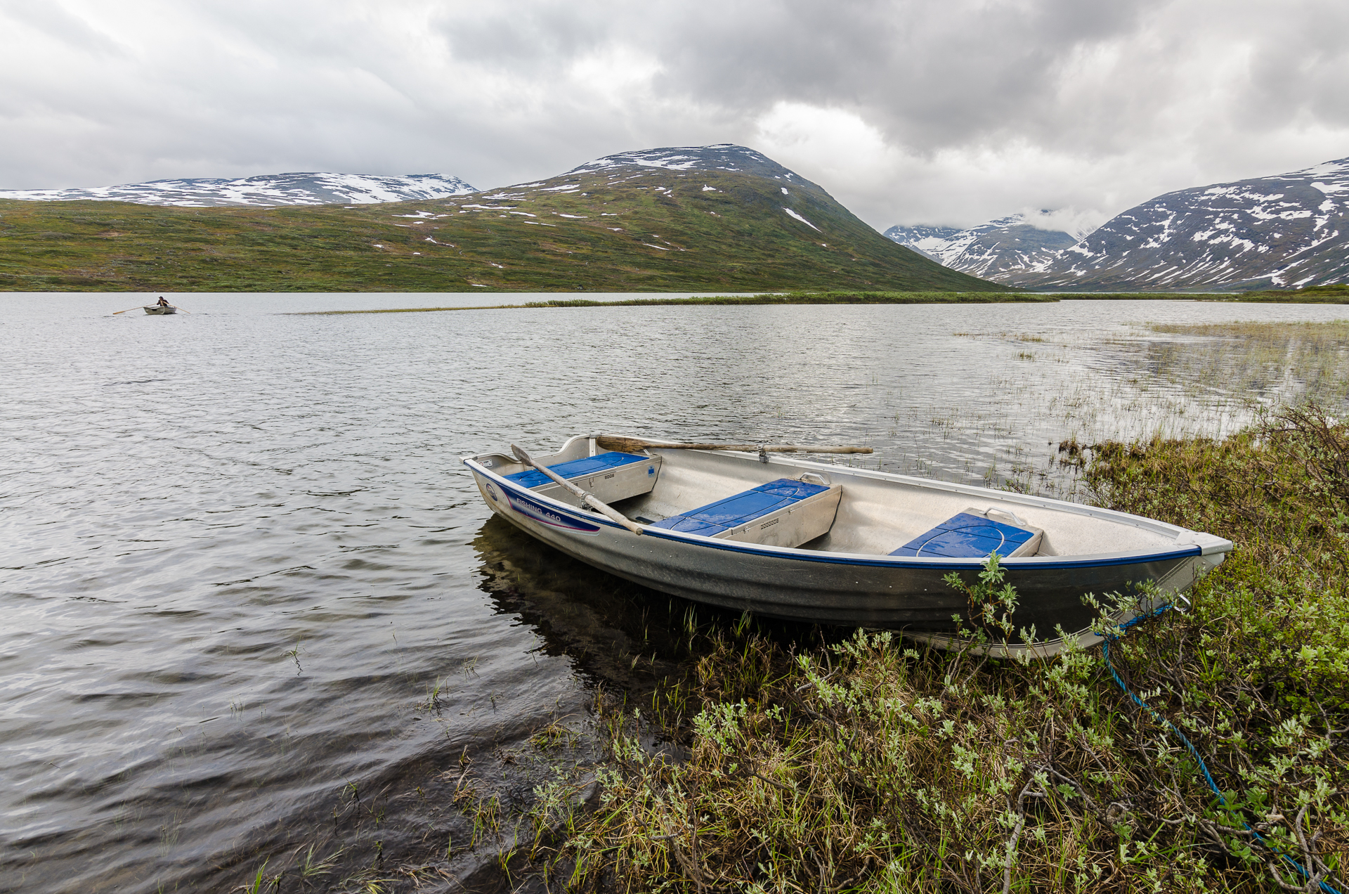
So, it must be simple, I push and move. Hmm, maybe another time again? I managed to cross with two different paddles and my bag didn’t drown. Success!
After this exciting boating episode, I was back on the ground and a bit late. I had a long day to reach Staltoluokta, a small Sámi village at the end of Sarek.
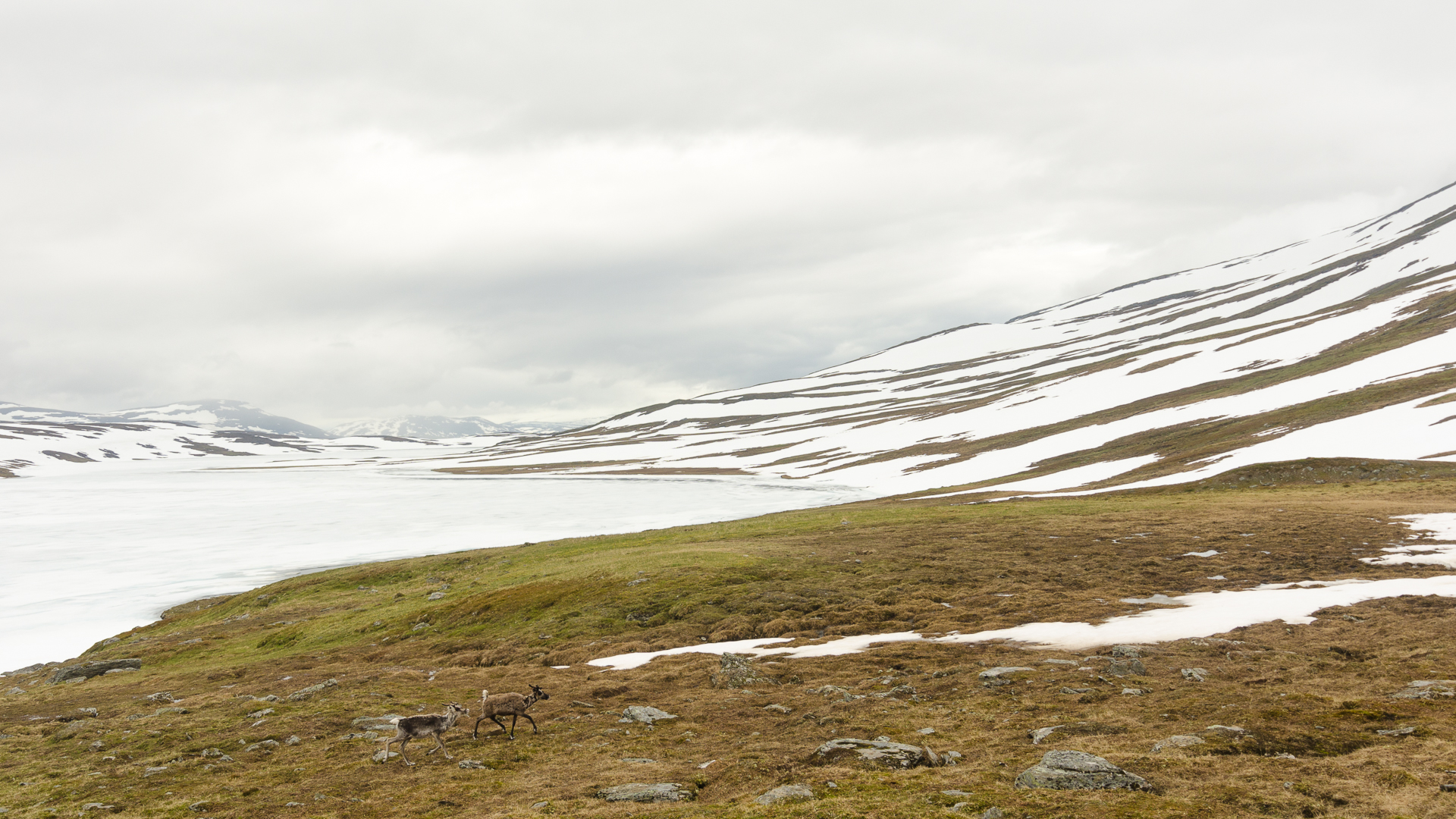
Attracted by my lunch, two curious reindeer circled around me. I ate all of it and they had to leave.
My main motivation to reach Staltoluokta was a good dinner. It was worth it.
“If you go to Staltoluokta, you have to try fisk och polar bröd, told me Anders. – But I don’t have any Swedish kroner anymore. – Yes, yes, you have to try it. I can exchange you Swedish kroner.”
Since I was planning to reach Norway, I had exchanged all my Swedish bills in Stockholm, leaving me with Norwegian korners and Euro. Anders exchanged me Swedish kroners against Euro, so that I could enjoy a “typical” Sámi lunch!
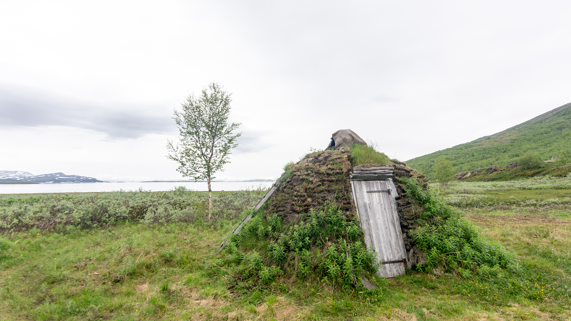
A traditional Sámi hut near the lake
I entered the
“I asked my guests what they would like. And they told me waffles. So I am going to make you waffles”.
I had planned to walk a few hours after. Terrible idea. :) My body was not cooperating, and the rain started again. The ground was very loose, and the wind waited until 1am to smash my tent. Twice.
DAY 5
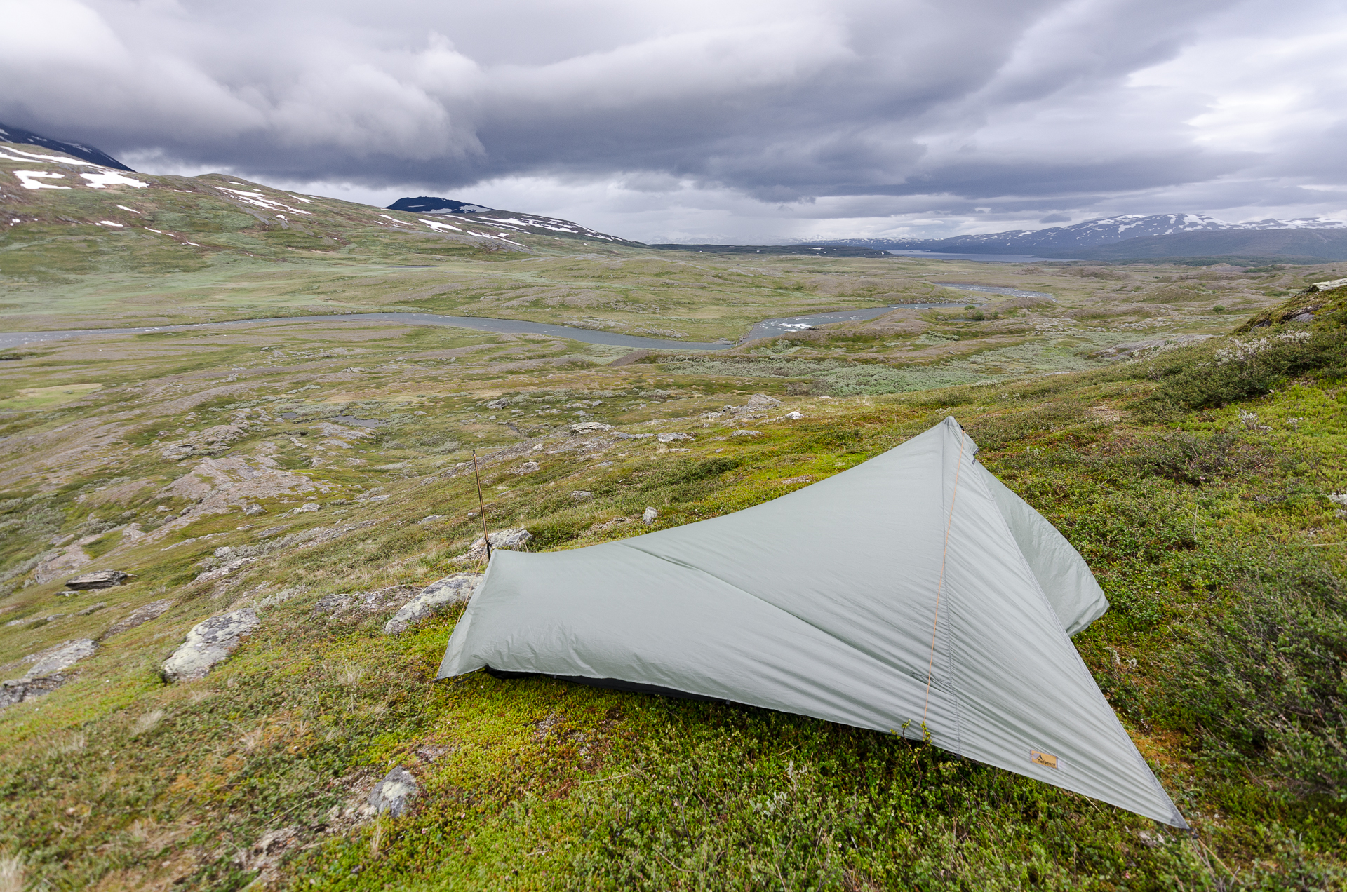
The wind started in the middle of the night, and my tent was not well oriented. At 6am, I was already up. At least, the view was great, but I didn’t even take a breakfast and left as fast as I could. Brrr.
This was the last day, hopefully. I’m still not sure how much I walked, but probably close to 40km again. I had left snow the day before in the afternoon, but met it again. I crossed frozen lakes and climbed towering passes, surrounded by deep snow, and forded impetuous freezing cold rivers.
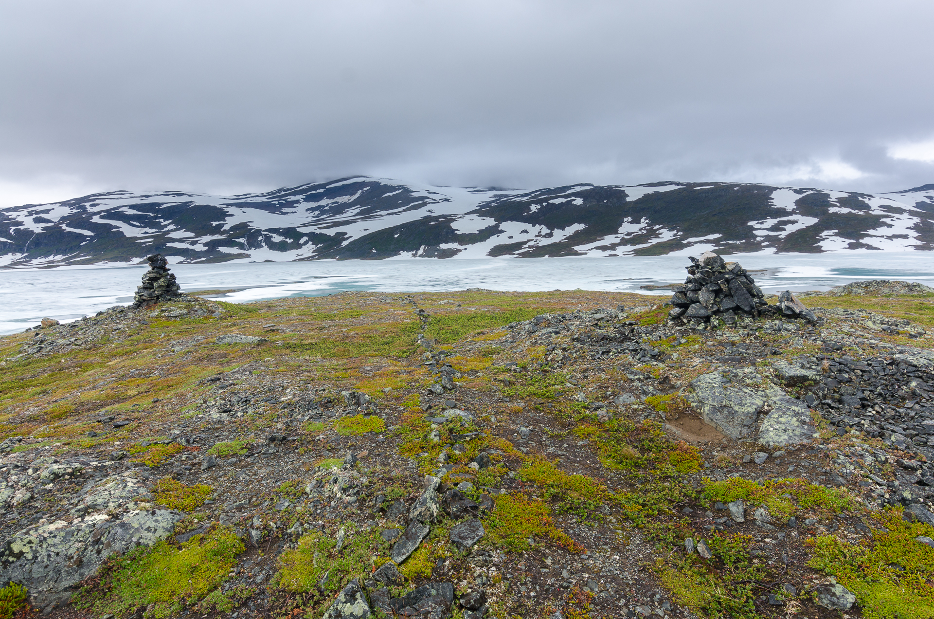
And here it was… the Norwegian border. A thin line of rocks on the trail. During days, this had been my only goal. With not falling under the snow.
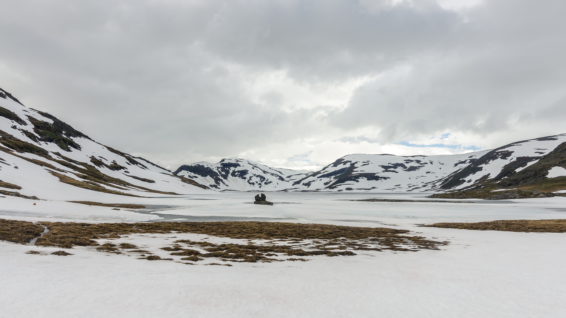
“There is a sacrificial stone on your path today. People still go there to touch it. They don’t want to talk loudly, so they whisper when they come closer. I don’t understand why, this thing is so old.” I’m not sure if this was the stone, but it looked like!
The rest of the day went up and down, running and sliding huge snowy slopes. There was supposed to be a trail, but footprints were not visible all the time, and I had to rely on stones with a painted red “T”, looking far away to find them. At 8pm, I finally put my wet feet on a solid mountain road and looked behind me for a few minutes.
Equipment
My backpack, tent, sleeping bag, and sleeping pad were all together weighting exactly 2 kg. It was wonderful. Here is a short list of some of the best things I was carrying:
- Tarptent ProTrail, a tent made with a tarp but fully closed. You use two poles to pitch it. I found it a bit difficult to pitch it fully open with only four stakes, and needed to adjust it everytime, moving one, then the other… Still fast enough.
- the Revelation quilt by Enlightened Equipment, at 30°F. With 800 FP down, it’s extremely light, and since it’s a quilt, it’s also lighter than a sleeping bag. The build quality is great, and compared to older models, they did a very good job. You can close the last 30cm at the bottom and use two elastic straps to wrap the upper part around you,
- MLD Prophet, a backpack without cushion for your back will always be lighter than what you find at REI or Decathlon,
- Therm-a-Rest Neoair Xlite, an inflatable mattress almost too comfortable for me.
CLOTHES
In term of clothes, I really like my merino wool socks by Darn Tough (plus I have a lifetime warranty and I got 25% of, yeah!). They were a key part of this hike: with my trail running shoes, my feet were wet all the time. The rivers were freezing cold, but these socks kept me warm.
I also discovered the brands Houdini from Sweden and Bergans from Norway. Both are a bit expensive, but their products are well built. After this trip, I found a pair of pants by Bergans that automatically cleans themselves! Step one: apply mud everywhere. Step two: wait a few hours. Step three: oh, oh, all the mud disappeared. The first time I saw that was really confusing. The fabric is so repellent that even tree sap will fall off.
Last but not least, I bough some really strange thermal underwears in Nepal, by Haglöfs (fake of course). They are made of 50% ramie and 30% cotton. Yes, ramie. And they are extremely warm.
MAPS
I had a wonderful map by Calazo, printed on Tyvek, a really reliable waterproof paper. Hendrik from ‘Hiking in Finland’ reviewed waterproof maps in 2013. His website is also a great source of inspiration.
The only issue with Tyvek map is having to use regular paper maps after.
FOOD
I brought almost only homemade dehydrated meals. It’s good, light, and clearly cheaper than commercial hiking food. It’s of course easier if you have a dehydrator at home, but you can still make some meals yourself by mixing dehydrated soup with couscous, instant noodles… Hacked porridge for the morning, with oat bran, powdered milk, and spices. And nuts, lots of almonds and hazelnuts.
You should not underestimate to quality of the food you bring. After walking 40 km under the rain, it’s nice to have something you like. I remember making a list of things I would like to eat back home, and thinking a lot about blueberry pie… In the middle of nowhere, this was not helpful at all! :(
Questions ?
Feel free to send me a message at X @ Y, where X is